| |
 |
 |
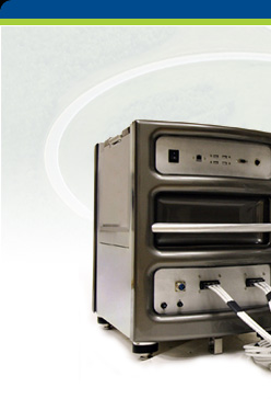
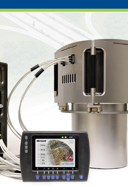
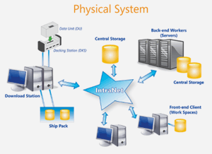
UltraMap provides a complete and integrated photogrammetric
workflow for UltraCam images. It consists of a flexible
and scalable distributed system for managing and processing
vast amounts of UltraCam data integrating UltraCam-specific
hardware such as the DX data units, and the DKS docking
station to support field and office environments.
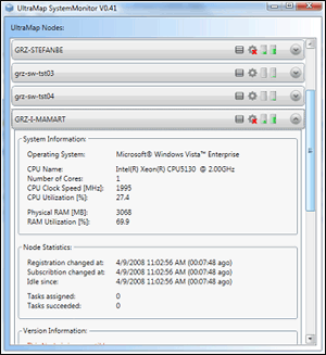 |
| UltraMap
SystemMonitor V0.41 |
- UltraMap manages data download, distributed level
0-2/2-3 data processing, aerial triangulation, and
interactive data visualization for quality control
- Modules are based on two core technologies, the
UltraMap Framework and DragonFly, another core component
based on the Microsoft Seadragon technology
- Framework is responsible for distributing UltraCam
data across a heterogeneous system using load balancing
and resource management
- DragonFly fully supports multi-channel 16
The UltraMap AT package exploits both core technologies
in order to provide interactive point measurement, and
efficient distributed tie pointing for aerial triangulation
of your projects.
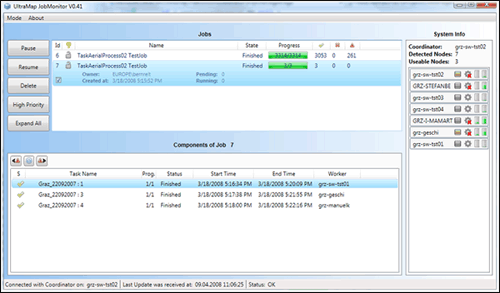 |
| UltraMap
JobMonitor V0.41 |
|
|