|

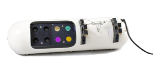 
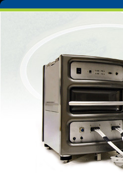
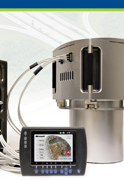
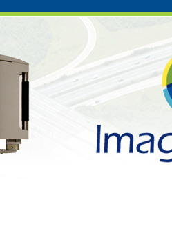
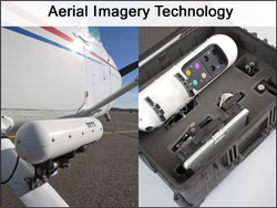
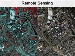
GeoVantage's precision navigated imagery is an end-to-end remote sensing solution; from order entry, to digital aerial photography, to data processing and delivery to client. Our proprietary system streamlines imagery acquisition and ensures high quality results.
- Uses IMU and GPS for direct georegistration
- Allows Web-based mission planning
- Better quality imagery than commercial satellites with faster response
- Installed onto small single-engined aircraft without much modification. Aircraft resumes normal use in less than an hour
- Image collection to final-delivery in a matter of hours
- Functions very well at low altitude
|
|