| |
|

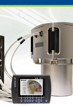
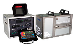
Extra-long-range laser scanner
makes this system ideal for area mapping.
|
 |
|
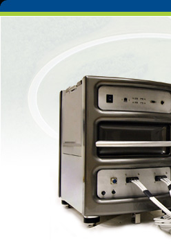
Trimble
Harrier 68
|
Trimble Harrier Corridor Mapping Systems
set a new standard for digital image acquisition and laser
scanning. Designed for both aircraft and helicopter operation,
the Trimble Harrier 68 is ideal for area mapping.
Incorporating a wide-angle, airborne laser scanner,
the Trimble Harrier 68 enables you to extract the most
comprehensive information. The laser scanners’
160,000-Hz measurement rate delivers high point density
on the ground to provide the detailed modeling data
needed for precise planning, engineering, and monitoring
applications. The Trimble Harrier 68 allows flight at
a typical maximum altitude of 1,600 meters.
|
|