|
Toposys
LIDAR Solutions > Harrier24
| Harrier56/G4
| TopPIT
 |
|
HARRIER
24
|
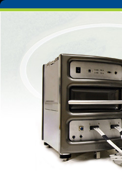
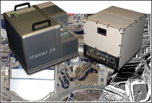
The Harrier 24 is the ready to
use low cost LIDAR system that allows you to easily
and successfully add LIDAR Scanning to your existing
business.
But you can get more: the Harrier 24 is also the digital
imaging answer for aerial survey and remote sensing.
Having additionally a wide angle
Laser scanner integrated, the Harrier 24 allows you
also to expand your business just by switching on the
Laser.
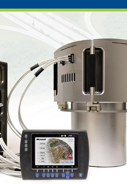
Harrier 24 integrates a medium-format
digital camera and the Laser scanner Riegl LMS-Q240,
a very cost effective airborne Laser scanner.
Data processing is workflow oriented,
optimized and fully integrated for both, images and
elevation data.
|
