Main Product and Services News and Events Contact Us Resellers  


Diagram of the project tool


Toposys LIDAR Solutions > TopPIT
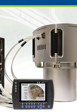
 | Harrier56/G4 | Harrier24


Kortra-GUI | Converter | TopPIT XV-Viewer and Editor
 

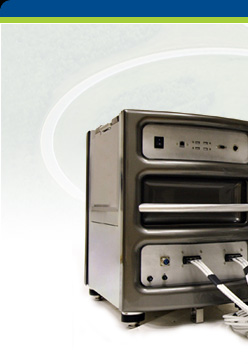
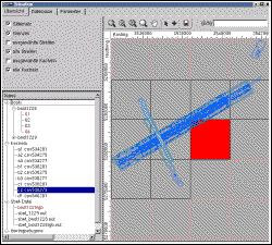
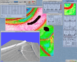
The TopPIT (TopoSys Processing and Imaging Tools) software package is a development of TopoSys GmbH for the analysis and reprocessing of LIDAR and RGB/NIR data. The software is optimised for the analysis of TopoSys Falcon data. Due to the modular structure of the software and the integrated import interfaces, data of other sensor manufacturers can also be processed efficiently. Export interfaces enable reprocessing of data with all conventional GIS and image processing programs.

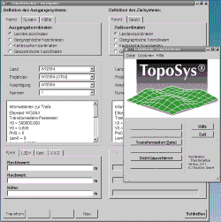
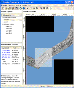
The software modules are linked with one another via a graphic user interface and thus ensure simple, convenient running of the program. In addition, dependencies are checked for quality assurance purposes and each work step is recorded. TopPIT software runs under LINUX, the ideal operating system for this application.


Kortra-GUI
TopPIT-Tools > Kortra-GUI Top

This tool permits transformation of 2D and 3D coordinates (latitude, longitude and height) into various coordinate systems. The geoid undulation is automatically stored and is considered in the computation of the heights above MSL.

  • Transformation of single points
  • Transformation of complete ASCII files (incl. import filter)
  • Transformation of complete TopoSys elevation models
  • At present over 50 coordinate systems implemented
  • Simple integration of user-defined coordinate systems, ellipsoids, transformations and geoides (open data base)


TopoSys Converter

TopPIT-Tools > TopoSys Converter Top

The TopoSys Converter (TSC) is a high-performance, versatile tool for converting and displaying TopoSys elevation models.

  • Support of TopoSys point data (XYZ, XYI files) and TopoSys raster data (TOR/TOL files)
  • Loading several files of an area, cross-file work
  • Detailed information on all loaded files
  • Display of raster elevation data as relief images in various quality grades
  • File-based and cross-file conversion
  • Conversion into various output formats, user-definition of ASCII output format possible
  • Saving all settings in one project file


TopPIT XV-Viewer and Editor
TopPIT-Tools > TopPIT XV-Viewer and Editor Top

The TopPIT-XV is an extension of the popular XV viewer under UNIX. This tool serves for visualization and for manually editing TopoSys raster data and RGB/NIR data.

Visualization of

  • TopoSys elevation data with the aid of pseudocolor table or black and white
  • TopoSys relief images
  • TopoSys RGB and CIR images
  • Point and line vectors (e.g. TIN data)

Further functions:

  • Manual editing of elevation data (bulldozer function)
  • Retrieving positional and elevation coordinates
  • Flicker function


Copyright© Imagemaps Pte Ltd. 2009. All rights reserved.